
The Forest Service is a multi-use agency that works to maintain and improve the health, diversity, and productivity of the nation’s forests. This requires collaboration with other federal agencies and resource specialists to plan and implement projects on Forest Service managed lands. Sometimes this means protecting archaeological resources through avoidance and sometimes it means mitigation.
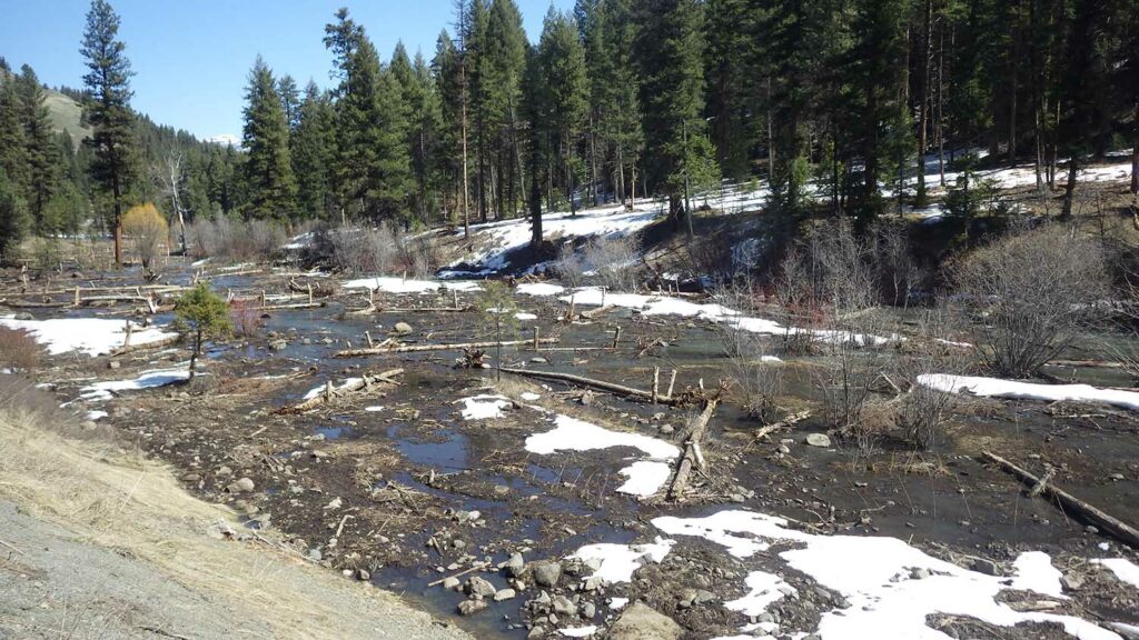
This exhibit looks at some of the Aquatic restoration projects on the Malheur National Forest, reinstating floodplain function and resiliency, and how we as archaeologists protect our cultural resources or mitigate for potential effects to Historic Properties.
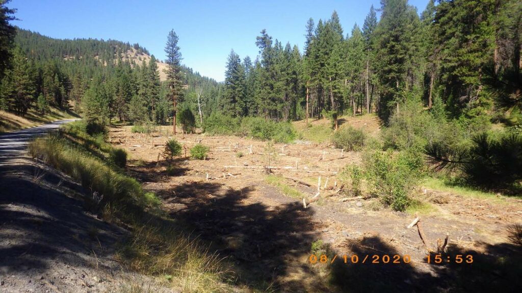
In the past, restoration has included heavy equipment use, tree tipping, removal of sections of railroad grades, and planting riparian plants. While site avoidance is preferable during these projects, it isn’t always possible, and mitigation provides an opportunity to meet restoration goals and adhere to the National Register of Historic Places (NHPA) Section 106. This includes identifying contributing and non-contributing elements to the NRHP, consulting with the State Historic Preservation Office (SHPO) and allowing removal of non-contributing elements while protecting contributing elements for avoidance. This may also include site testing and/or funding for archaeological research projects on the Forest.
The goal of this exhibit is to provide an example of what working for a federal agency as an archeologist looks like and how we collaborate with other specialists to reach our mutual goals while representing our resources.
Project Design
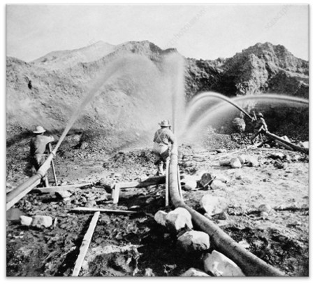
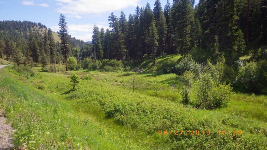
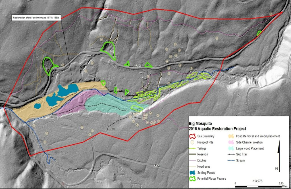
Above is a proposed aquatic restoration project that falls within a large mining complex site. The site includes both early 20th century mining as well as more recent mining from the 1970s to 1990s. Avoiding the site was not an option for this project. So where do we go from here? Let’s start with some questions:
- Is the site eligible for the National Register of Historic Places?
- What components within the site contribute to the site eligibility?
- What actions does the project propose and how will these affect the site?
Once we have looked at the project proposal and answer the questions above, we can create Project Design Criteria (PDCs). These are ‘rules’ set-in place for the duration of the project to protect the resources. For example:
- Pre-implementation inspection and implementation monitoring will be conducted to ensure significant features and subsurface artifacts are located and avoided
- All significant features and artifact concentrations will be flagged for avoidance and a map will be provided to the Project lead of their location
Mitigation
Mitigation is required when eligible or potentially eligible sites are impacted during a project. When this happens, the Forest Service works with the State Historic Preservation Office (SHPO) to create a Memorandum of Agreement (MOA). This document outlines the goals and expectations of mitigation.
There are many different types of mitigation that can occur including site testing, educational outreach, interpretive signs etc. as well as documentation to record the mitigation actions.
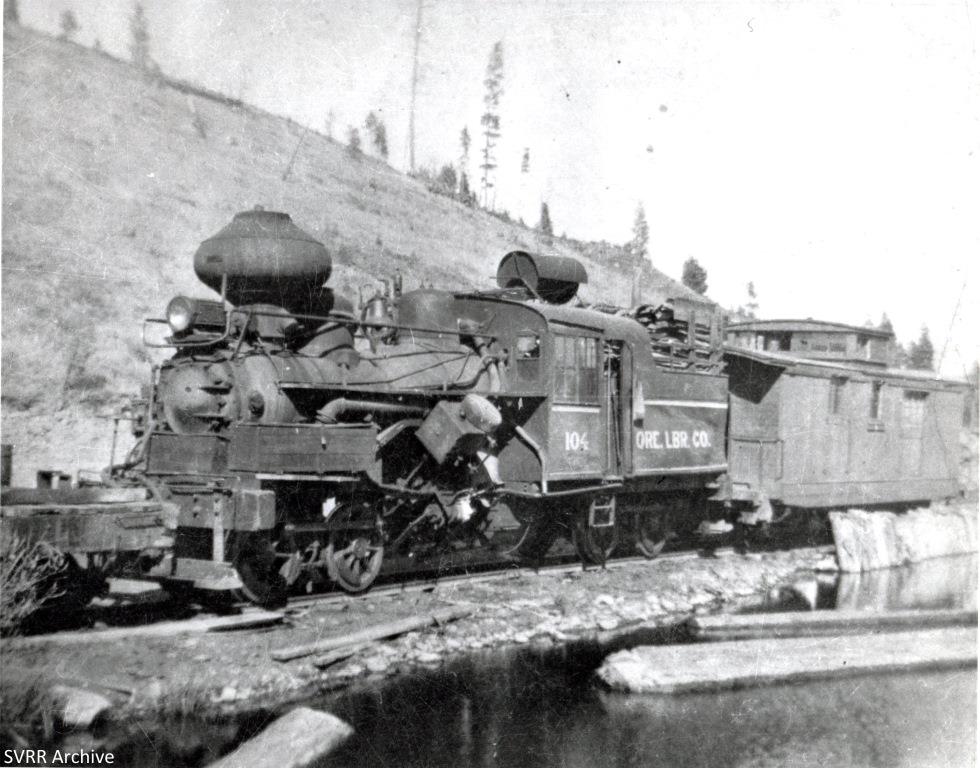
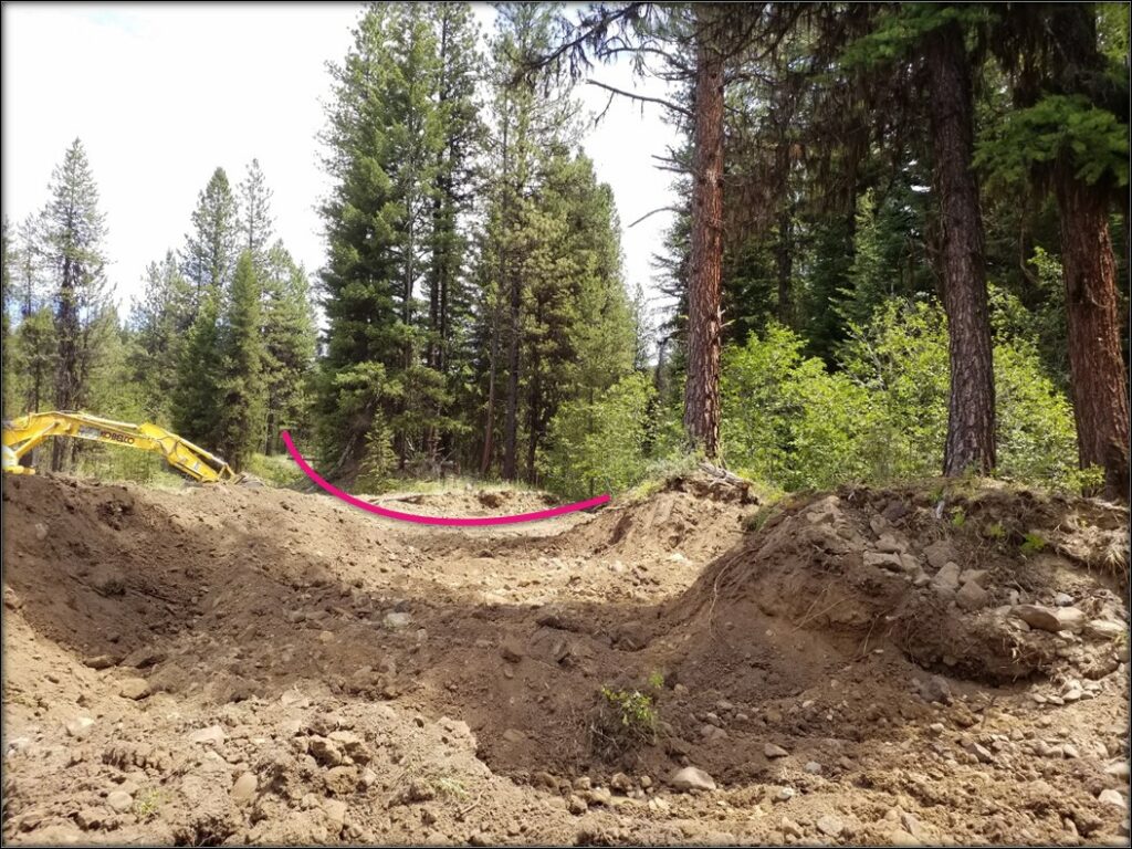
For the Camp Creek project pictured to the right, mitigation included a drone flyover of the Oregon Lumber Company railroad grade before implementation as well as site testing in a related railroad camp site.
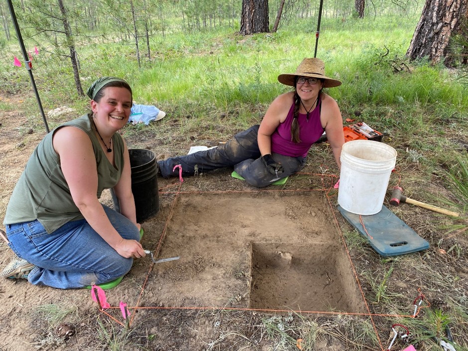
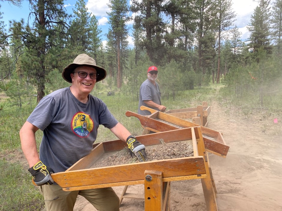
These photos feature volunteers from the 2021 Passport in Time (PIT) project performing site testing on another Malheur FS site. Projects like this one can be funded as part of mitigation.
Mitigation also provides an excellent opportunity to include partners such as universities, museums, or our consulting Tribes. The Malheur NF has had many partners throughout the implementation of these projects.
Partners – Thank you!


The Malheur National Forest
The 1.7 million acre Malheur National Forest is located in the Blue Mountains of Eastern Oregon. The diverse and beautiful scenery of the forest includes high desert grasslands, sage and juniper, pine, fir and other tree species, and the hidden gems of alpine lakes and meadows. Elevations vary from about 4000 feet (1200 meters) to the 9038 foot (2754 meters) top of Strawberry Mountain. The Strawberry Mountain Range extends east to west through the center of the forest. Plan your camping trips with our interactive recreation maps today by visiting our recreation page for all you need to know and more.
Visit our associated websites here:
Malheur National Forest,
Supervisor’s Office
431 Patterson Bridge Road
John Day, OR 97845
541-575-3000
